Every piece of land has a history.
Pin your place on the map. Get a free Surveyor’s Walk card for its survey section, then a one-page brief built around your own question.
Free, and no account needed to start.
The reference room
Four corners, one desk. Start wherever you like.
The map table
Find your land
Drop a pin or draw the outline. The survey grid tells you which township, range and section you are standing in.
The shelf
Example histories
Worked examples from real records, so you can see what a worked history looks like before you start your own.
The reading room
How we research, and the booklet
Dr. Bob Zybach’s research methods and his 19 types of evidence, in plain English.
The desk bell
Ask the Reference Desk
An AI assistant that follows Bob’s published method. It shows its sources, and it says so when the record is silent.
The door’s open. Mind the mud.
How it works
Pin it
Drop a pin on the map, or draw the outline of your place. Your pin stays private to you.
Get your Surveyor’s Walk card
Free and one page, for the survey section your place sits in: where it sits in the survey grid, the same ground today, and where its records live.
Ask your question, get a brief
One page built around your question: what the record shows, what it can’t say, and what to look up next. Keep it in your land folder.
Example histories
Each one shows what the record says, what it can’t say, and what to look up next.
-
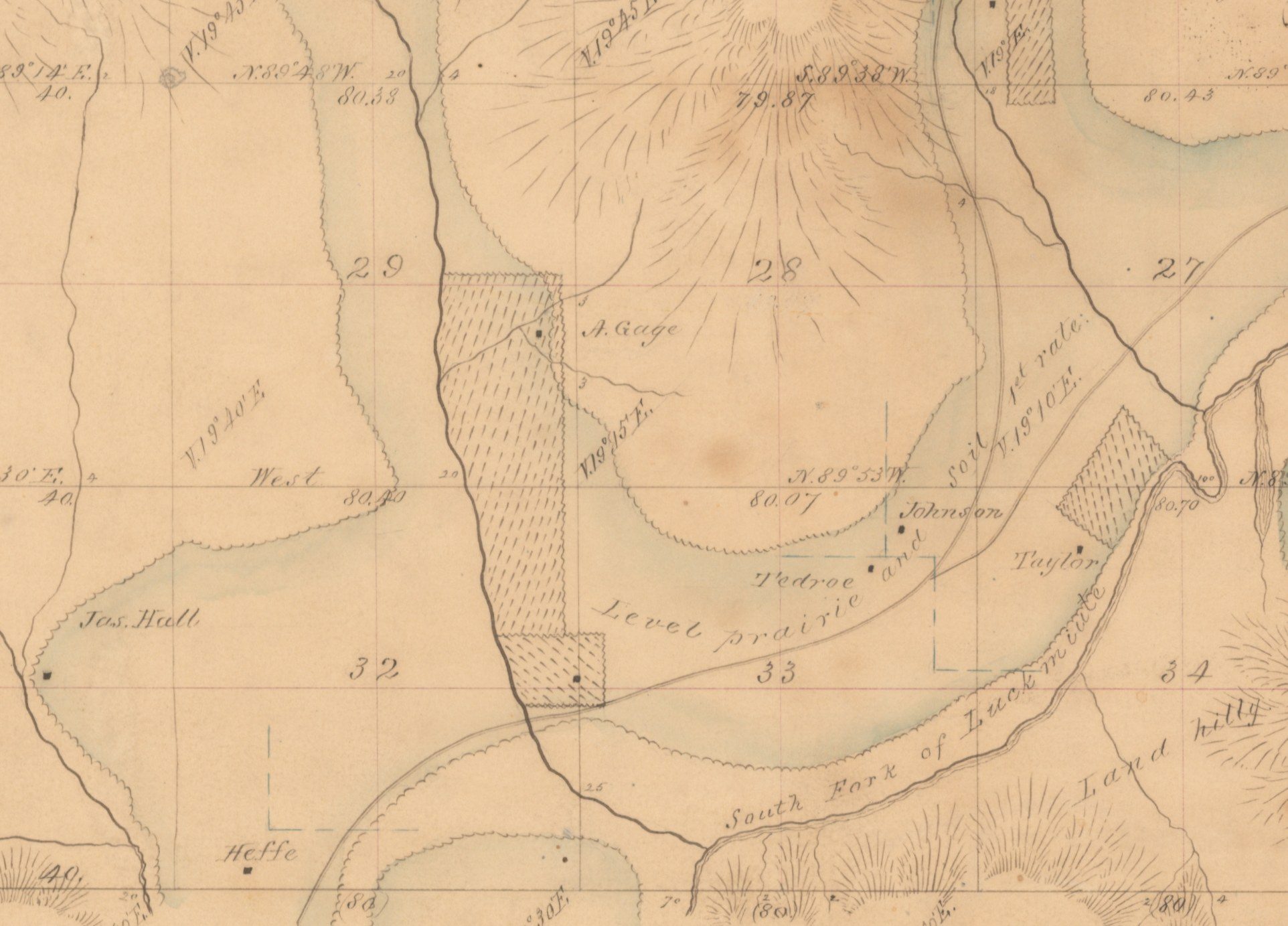
A tree farm near Pedee
The homestead story that wasn’t.
-
Soap Creek Valley
How one thesis put spoken memories beside survey notes, maps and air photos.
-
Section 16 near Pedee
A school section with two pioneer claims inside it.
The card and the brief are free. Keeping a folder will cost something later. Prices shown are test prices.
The blackberries can wait.